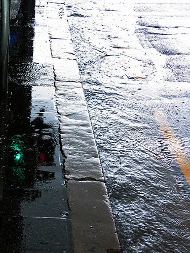
The National Weather Service has issued a Flood Watch for much of the region including all of western Kentucky, portions of southern Illinois and southwest Indiana.
A slow moving frontal boundary will bring several waves of rain and a few thunderstorms to the region Wednesday into Thursday. Storm total rainfall in the watch area is forecast to range from 3 to 4 inches, with locally higher amounts possible. This may result in flooding of low lying and flood-prone areas.
Falling leaves may also clog drainage systems and impede the normal course of water runoff.
In addition, some minor river flooding may eventually develop given the widespread and heavy amounts of rain over the basins.
A Flood Watch means there is a potential for flooding based on current forecasts.
You should monitor later forecasts and be alert for possible Flood Warnings. Those living in areas prone to flooding should be prepared to take action should flooding develop.
Current weather forecast:
Wednesday, A slight chance of showers, then showers and possibly a thunderstorm after 8am. High near 69. South southwest wind 10 to 14 mph, with gusts as high as 23 mph. Chance of precipitation is 100%.
Wednesday Night, Showers and possibly a thunderstorm. Some of the storms could produce heavy rainfall. Low around 51. Northwest wind 7 to 9 mph becoming north northeast after midnight. Chance of precipitation is 100%.
Thursday, Showers. The rain could be heavy at times. High near 54. North northeast wind 11 to 13 mph. Chance of precipitation is 100%.
Thursday Night, Showers, mainly before 2am. Low around 42. North northwest wind 7 to 11 mph. Chance of precipitation is 90%.
Friday, A 40 percent chance of showers before 8am. Partly sunny, with a high near 56. West northwest wind around 8 mph.